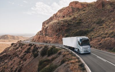
Trucks
I-See
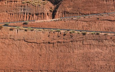
I-See predictive cruise control saves fuel by optimising your speed, gear changes and coasting to the topography, curves, roundabouts and speed limits ahead. It means you can use cruise control in more driving situations than ever before to save fuel and reduce your CO2 footprint from day one.
How I-See works the hills
Going uphill
I-See knows a hill is ahead. The truck accelerates and remains longer in higher gear.
Avoiding needless gear changes, I-See makes your uphill climb smooth and fuel-efficient.
When the downhill is approaching, I-See stops accelerating unnecessarily.
Going downhill
To save energy, I-See temporarily disengages the powertrain or engine brakes to coast before a slope.
After the slope
I-See knows where one slope ends and where the next begins. If you’re about to go uphill, I-See lets the truck coast to build speed and momentum.
Managing curves and roundabouts
When the truck approaches a curve or roundabout that requires a lower speed to pass safely, I-See adapts gear selection and speed in advance so that the driver doesn’t have to use the brake pedal. After exiting the section, I-See adjusts to the speed limit in the most efficient way.
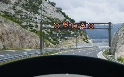
Managing speed limits
When approaching a position where the speed limit changes, I-See adapts gear selection and speed in the most energy-efficient way. It helps you avoid unnecessary braking or fast acceleration.
Features depicted may not be standard or available for all equipment levels and powertrain options.
Volvo Group UK Limited is an Appointed Representative of Automotive Compliance Ltd, which is authorised and regulated by the Financial Conduct Authority (FCA No 497010). Automotive Compliance Ltd’s permissions as a Principal Firm allows Volvo Group UK to act as a credit broker, not as a lender, for the introduction to a limited number of finance providers and to act as an agent on behalf of the insurer for insurance distribution activities only.